Tuesday 27 November 2018

High Springs-Newberry Rail-to-Trail Update

I’ve heard back from the Alachua County Senior Transportation Planner regarding the Rails-to-Trails project connecting High Springs and Newberry. The good news is that the project is still on, it’s just been delayed:

It has indeed been a long road. Our original closing date was scheduled for December 2017. This was rescheduled to March 2018, then December 2018. Each of these extensions was agreed to in order to continue to work with CSX on an appropriate Soil Management and Capping Plan that will ensure the public can safely use the rail corridor for a trail once the County has acquired the property.

We have, most recently, entered into an agreement to extend closing to January 2019, but will likely have one more extension through June to ensure that we have all our ducks in a row. We are continuing to work with CSX and the Trust for Public Land on this project.

I wrote back and asked if the purchase would include the remains of the historic High Springs rail yards and was told that no, the purchase would only include the rail corridor proper, not the rail yards. This, as you might imagine, was a combination of both good news and bad news.

I checked the property appraiser’s website and confirmed that CSX does still own most of the rail yard land (blue). Oddly enough, according to the Alachua County Property Appraiser's website, the green land belongs to the State of Florida through the Internal Improvement Fund passed in 1855 “to oversee the management, sale, and development of public lands granted to the State through various Congressional acts. Among the internal improvements arranged through this agency were construction of canals, railroads, and land drainage and reclamation. The address provided by the property appraiser for this property is the State of Florida Department of Environmental Protection.


Blue: CSX; Green: State of Florida

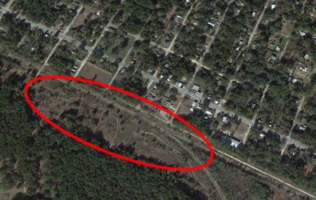
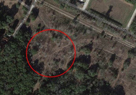
The land roughly encircled in red belongs to the State of Florida.

That’s exciting! It indicates that the green land has a strong possibility of remaining undeveloped. Perhaps, if the county is unable or unwilling to purchase the non-corridor land, perhaps the state would? I would love to see this area remain wild and undeveloped. It would be great if we could somehow turn the former rail yard property into a historical park, either belonging to the state or the city – and once the bike trail goes in (although goodness knows when that project will actually be finished), it would be a great place to picnic, relax, and enjoy nature right alongside the trail.

Friday 23 November 2018

Unofficial Rail-To-Trail (for now)

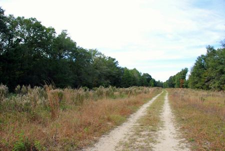
So, allegedly, one of these days there is going to be a paved bike trail on the former CSX rail line between High Springs and Newberry one of these days. (I say allegedly as there may have been a hiccup; I'm waiting for the Alachua County government to get back to me.) Even without any hiccups, it could take years to start, much less finish, this project. I'm recovering from a fractured foot, which limits the amount of walking that I can do. My physical therapist recommended cycling to keep my leg muscles active, but as riding along roads scares the crap out of me, I decided to check out the former rail beds (which I blogged about herehere, and here) for the purposes of cycling. I've found a lovely route, just shy of six miles as a loop, and I've been riding it regularly for the past six months. It's a wonderful place to get your exercise, enjoy nature (lots of birds, butterflies, wildflowers, deer, etc), and not have to worry about dodging traffic.


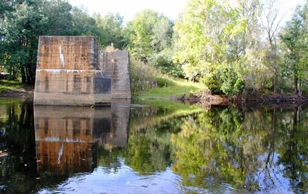
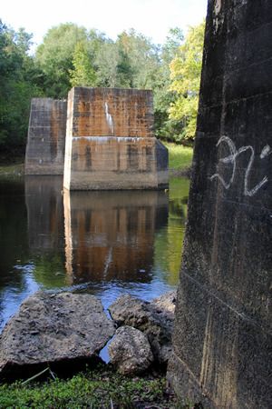
My route ends at the remains of the old railroad bridge over the Santa Fe


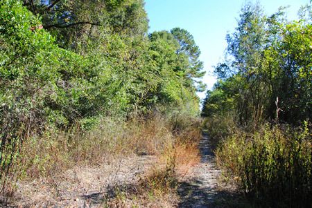
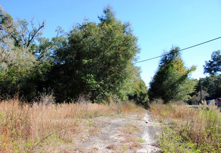
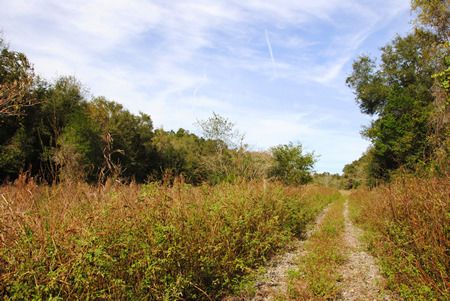
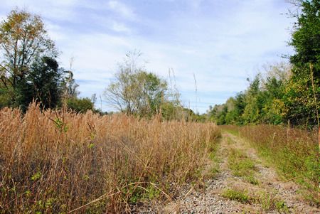
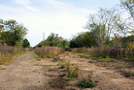
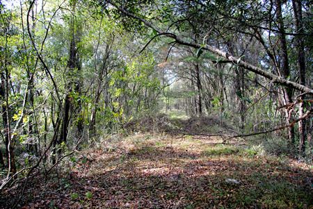
Unfortunately, this is the only stretch of the former railroad that is rideable at the moment (at least to me). The track that heads north towards Prime Conduit is completely overgrown. There's definitely potential for the ballast (the gravel that supports the rails and the ties) to be worn down to a rideable level headed westward towards Newberry, as people are definitely driving on the former rail bed, but it's just not ready for the casual cyclist yet. The ballast is still too much in evidence if you head west from Poe Springs Road in the direction of Newberry. I made it about a quarter of a mile in that direction before deciding that while aesthetically it looked lovely, it just was not a pleasant ride.

Nope, not going to ride that.


So... what's up with this official bike route? Well, the last I'd heard was this bit of good news from August 2017:

Bicyclists may soon be able to pedal all around Alachua County with ease. County commissioners agreed Tuesday to spend $3.3 million to acquire land needed for a $12 million rail-to-trail project that will run from the edge of Newberry to downtown High Springs. The trail could eventually connect to other trails throughout Alachua County, creating ease for riders to tour the county.

“The (trail) network in and adjacent to Alachua County will make this an international tourist destination,” County Commissioner Robert Hutchinson said. The county will use its share of Wild Spaces and Public Places funds for the recreation project. The city of High Springs will contribute about $300,000 toward the purchase.

The 13-mile strip, which runs parallel to U.S. Highway 41, will cost at least another $8 to $9 million to pave, county spokesman Mark Sexton said. Sexton said the county will pursue grants to pay for much of the paving. Documents show the county is buying the land from the Trust for Public Land. Sexton said the project has been high on the county’s wish list for several years and that county officials have tried unsuccessfully to get state funding for the project. [complete article]

According to this article from December 2015, "the rail corridor runs next to US 27/41 from a spot near the Santa Fe River in High Springs south to just north of Newberry."

I'm not sure how much (hopefully all?) of "my" route is included in this, although I'd like to think that by "a spot near the Santa Fe River" they do actually plan to include "my" route. But then there's that hiccup I had mentioned.

Oh, goody. 

I've searched for updates. I couldn't find anything about a decision one way or the other in March 2018. I've reached out to the Alachua County government and am awaiting an answer. There is nothing about this on the City of High Springs website, but the City of Newberry's website, I learned that the November 15, 2018 City Commission meeting involved a discussion of including "Funding for the rails to trails project including High Springs to Newberry, Newberry to Trenton, and a trailhead project" (source), although I've no idea what the results of said discussion were.

I'll update you if I learn anything more.

The Original High Springs

(This was originally published on DesolationFlorida.com on January 8, 2016.)

When I was looking at real estate in and around High Springs (where I did, eventually, purchase a home back in 2014), I remember having a conversation with my mother in which we mused about the reason why High Springs was named High Springs. We thought the name was a bit odd, as it wasn’t as if there were a spring in the center of town or anything. However, we decided that perhaps the name probably came from the high quantity of springs in the near vicinity of the town; Poe, Gilchrist Blue, Ginnie, and Rum Island springs are all short drives from High Springs, and many other springs are accessible via the nearby Santa Fe River. This is apparently the etymology of the town’s name that many people in North Florida believe, although it turns out that it is not, in fact, correct.

While doing research for my various High Springs railroad posts, I had learned that there had indeed once been a spring in High Springs proper. According to the Architectural and Historical Survey of High Springs, Florida, published in 1990, “The spring that gives High Springs its name is located a mile northeast of the current center of town, in what is now a pleasant residential suburb. Its steady flow of water attracted settlers in the latter part of the nineteenth century, and the first group of buildings – a school, a few stores, and several homes – was built here. The railroad tapped this spring and diverted its flow, via a long pipe, to the site chosen for the railroad shops.” As I continued to search for more information on the railyard in High Springs, I came across several other mentions of a spring on top of a hill north of town giving rise to the town’s name… but where had the spring been?

I got my answer when I visited the High Springs Historical Museum to learn more about the railroad back in the fall. I was told where exactly this ‘hill north of town’ was located, that there were remains of the springhouse, and that the spring itself even still flowed. Sort of. In a bit of a trickle. I also learned that there were plans being discussed to clean the area up and turn it into a park – perhaps even to restore the springs – although nothing had been decided.
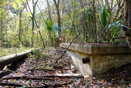
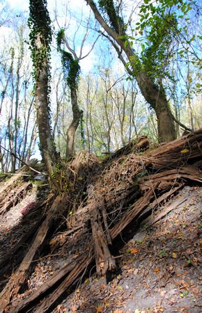
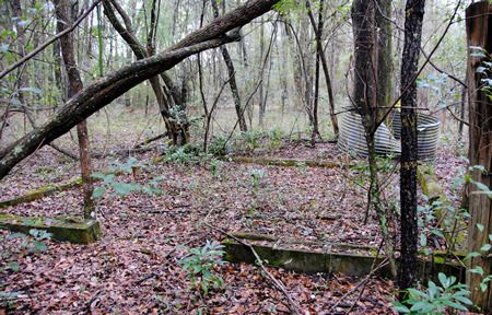
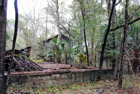
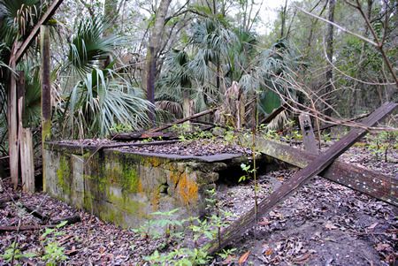
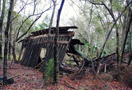
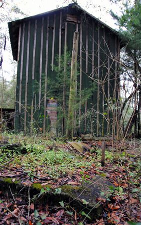
The directions I’d been given led me up a hill and to a trail entering a wooded area northeast of downtown High Springs, and while they weren’t too specific for once I reached said wooded area, I vaguely remembered being told that the area was marked off with caution tape. Shortly after entering the woods, I began to come across the remains of structures: foundations, collapsing remains of wooden walls, and concrete structures. Initially I thought I might have found the old springhouse… until I noticed the old tobacco barn behind it. That didn’t seem to fit what I was looking for. Additionally, I couldn’t find anything that resembled a spring – not even a trickle.

 photo ohs1_zpsh66cxbdv.jpg
Foundations of something

 photo ohs2_zps20rshbe0.jpg
More foundations; tobacco barn in the distance

 photo ohs3b_zps9vcretqi.jpg

 photo ohs3_zpsnbv4xlzx.jpg
Collapsing wooden structure

 photo ohs4_zps0fiqzutq.jpg
The tobacco drying barn told me I was looking in the wrong place.

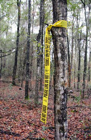
And so I continued on, following the trail until in the distance I saw what looked like yellow caution tape tied around a tree:

 photo ohs5_zpshmhwrz8a.jpg
Er. That’s caution tape, right?

Looking into the woods, I could see another band of yellow tape around another tree, and then farther into the woods, yet another. Following a Hansel and Gretel breadcrumb trail of police-line-do-not-cross tape into the forest all by your lonesome is surely a good idea. I figured either this was the caution tape that I thought I remembered hearing about, or I’d find myself arrested for trampling over a murder scene. As there hadn’t been any recent murders in the area (to my knowledge anyway), I figured I had to be on the right track. Safety first!

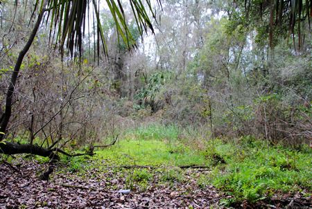
The pieces of yellow tape did indeed lead me to the spring – or what was left of it – and I would never have found it without them. When I finally reached the last piece of yellow tape in the trail, I could see what looked like a round clearing in the woods. It was impossible to get a photograph that showed what I could discern: a near perfect circle of slightly depressed land covered in weeds and small trees, surrounded by much older trees. Venturing into the depressed circle, I could tell that this had indeed once been the spring head pool. Around the edges older oaks leaned over what would have once been water. The ‘pool’ itself was nothing but mud – wet enough to show that water was still seeping to the surface, but dry(ish) enough to walk across, although my shoes definitely sunk into the mud in spots.

 photo ohs6_zpsnkpwqrii.jpg
What remains of what (probably) would have been the spring's pool

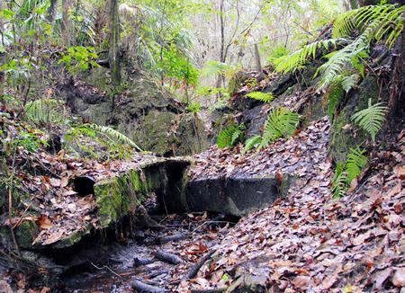
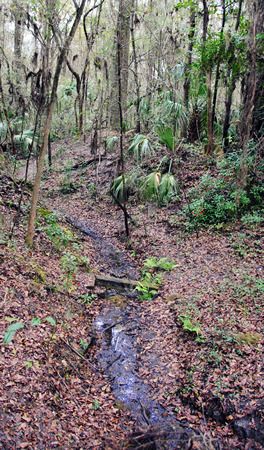
On one end of the former ‘pool’ the remains of a dam and pipe could be seen… and flowing through it and down an old creek bed was the trickle of water I had been told to expect.

 photo ohs10_zpsfcekmiuz.jpg
Remains of the dam. The round object in the lower left quadrant is a pipe.

 photo ohs7_zpsupnlmxgv.jpg
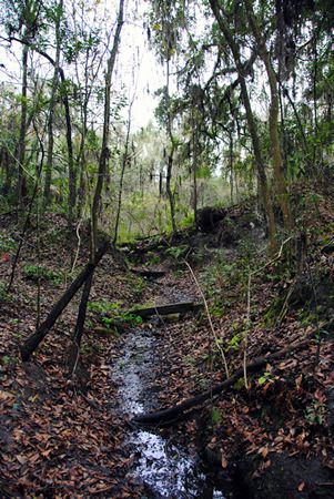
The stream, trickling east from the dam/pool

 photo ohs9_zpspntb6tre.jpg
Looking back towards the spring from downstream; the dam is at the top of the hill.

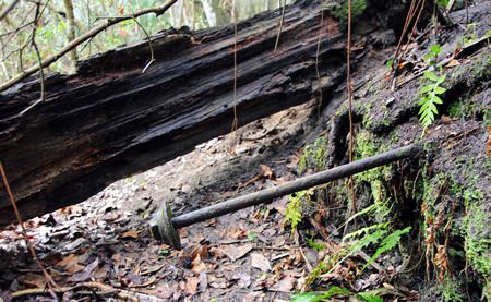
On the opposite side of the ‘pool’ I found three large metal bolts extending inward from the ‘pool’ wall. I've no idea what their purpose would have been.

 photo ohs13_zps8snqnrqr.jpg

 photo ohs14_zpsmo0nitjt.jpg

 photo ohs11_zpsc5pzr2e0.jpg

The complete set of photos taken on my explorations in search of the original High Springs Spring can be seen HERE.

According to the Alachua County Property Appraiser’s website, the piece of land upon which what remains of the spring sits belongs to the City of High Springs, which would certainly simplify the process of turning it into a city park. Of course, whether or not this actually comes to fruition definitely remains to be seen. And restoration of the spring itself? I do not know if such a thing would be possible, although if it were, that would indeed be lovely.

The Abandoned Railroad of High Springs, Part 3

(This was originally posted on DesolationFlorida.com on December 14, 2015.)

As you might notice, this is the third post about the abandoned railroad in High Springs, FL (the previous posts are here and here). This is partly due to my obsession with old railroads in general, partly because I live in High Springs, and partly due to the fact that there’s just some fascinating stuff out there if you know where to look. During our previous explorations of the rail line, we were mainly just following the different sections of old railroad bed, looking to see what we could find. We knew that there had been a large railroad presence in High Springs at one point – complete with a roundhouse – but we didn’t know where any of the facilities had been located. It turns out that we had walked within a few feet of the remains of the roundhouse and other rail yard buildings without knowing it; it’s amazing what mother nature can hide.

A couple of weeks ago we decided to check out the High Springs Historical Museum to see if they could tell us where the roundhouse had been located – and they knew exactly where it was (and where its remains still are). We, of course, immediately began planning to go and find it.

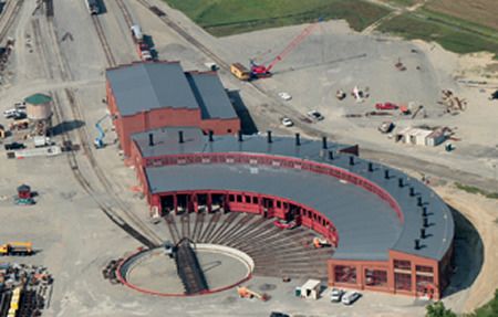
But first I should probably give you a little background. I mean, first off, what’s a roundhouse? Wikipedia has a pretty informative article, complete with pictures of a variety of roundhouses, which should fill you in. Back in the days of steam locomotives, roundhouses were pretty common. They were a way to get multiple train engines off of a limited number of tracks and into garages for maintenance, involving a gigantic turntable with a piece of track on it. This article from American Builders Quarterly details how a roundhouse is constructed. It’s also where I found the following picture, which gives you a good idea of how a roundhouse should look.

 photo roundhouse_zpsz73hd3wu.jpg
The locomotive reaches the circle in which the tracks mounted on a turntable are located. The train rolls onto the turntable-mounted tracks, which are then rotated to line up with the tracks for the specific 'garage' into which the engine needs to go. Ingenious, really.
(Photo from American Builders Quarterly)

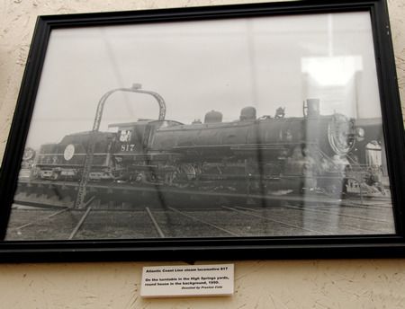
High Springs of today is a quaint, laid back, small town. There’s little in terms of industry nowadays; the community’s big draws are nature-based tourism and antiquing. However, back in the 1890s during the heyday of steam powered rail, High Springs was a bustling center of railroad industry. In 1895, High Springs became home to the division headquarters of the Plant System Railroad Line. By 1896, a roundhouse and a maintenance shop for steam locomotives had been erected – as well as a hospital, homes for railroad workers, and the various trappings of city life in the late 1800s. The population of the community swelled as railroad lines were added and the locomotive maintenance facilities grew more and more active. The roundhouse was rebuilt and enlarged in 1928 to accommodate the demand. Then the diesel engine was invented. By the end of WWII, use of steam locomotives began to dwindle, and the need for rail yards designed specifically to service steam engines declined. The High Springs Historical Museum has a photograph of the roundhouse in action in 1950, but it did not remain in use long thereafter.

 photo hsry21_zpsdwlwhzgf.jpg
Photo exhibited in the High Springs Historical Museum, taken in 1950

If you’re familiar with modern-day High Springs, you’ll know that the present day center of life in town is roughly two blocks of Main Street straddling Hwy 27, between 441 and the old railroad bed. As this is the focal point of today’s High Springs, I had assumed that the rail yard would have been right there, too, or perhaps just a couple blocks to the north, where the peanut plant is located. It turns out that the massive rail yard was far too large to fit neatly next to downtown High Springs. To find what remains of it, you actually have to head thirteen blocks northwest of Main Street.

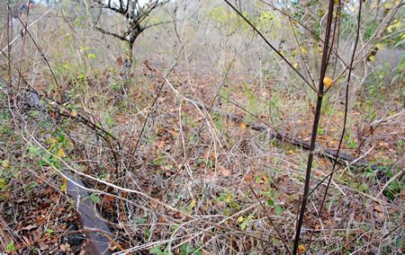
On the one hand, it’s surprising how little remains of what was once such an enormous and thriving enterprise. On the other hand, there are a lot of interesting remains of the facility if you know where to look. Just to the northwest of the former junction between the line connecting High Springs and Newberry with the line connecting Fort White to High Springs to Alachua is an area of undeveloped land which, while overgrown with brush, is not quite as overgrown as one might expect of rural north Florida. Instead of majestic old growth oak, one finds smatterings of spindly new-growth oak, surrounded by blackberry bushes and other prickly weeds. 

 photo hsry1a_zps2d9xa2os.jpg
This empty, desolate stretch of land was once the economic heart of High Springs.

 photo hsry19_zpsfg6etcke.jpg
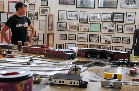
The High Springs Historical Museum has a wonderful scale model of Old High Springs, including the rail yard - complete with roundhouse.
(That's JOM of GravelCyclist, by the way.)

 photo hsry22_zpsvgrjlzqb.jpg
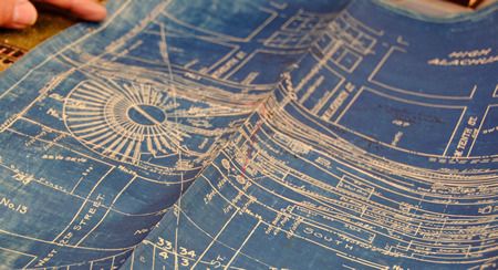
We got a chance to examine the old city blueprints, on which you can see the location of the roundhouse...

 photo hsry1_zps6rbffuxn.jpg
....which places it roughly there.


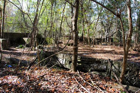
The remains of the rail yard are hidden under brush and brambles – as I mentioned above, we had previously walked within several feet of some of them without spotting a single thing – but if you pay close attention and know where to cast your gaze, you can still find the remains.

 photo hsry14_zpsstjqaiga.jpg
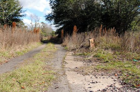
Much of the yard was once paved in concrete, and quite a lot of it remains, although it's mostly covered by a thin layer of dirt and vegetation. Here you can see a tantalizingly curved section of concrete, perhaps marking the edge of the roundhouse.

 photo hsry13_zpsxwz1zjbt.jpg
Here and there in the brush, you can still find sets of train tracks...

 photo hsry15_zps46sjgbp4.jpg
...the rails of which are abruptly truncated.
This makes a lot of sense if you think about the roundhouse structure.

 photo hsry11_zpsbgzdv3d7.jpg
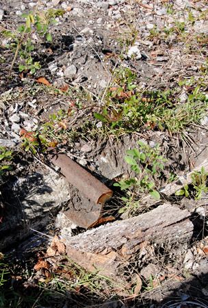
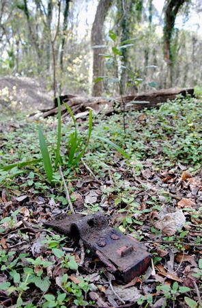
Railroad detritus is scattered throughout the area.

 photo hsry16_zpsepotcxsz.jpg
What I believe would have been machine shops

 photo hsry6_zpsiqlz3vjw.jpg
Part of the old hospital (I think? Maybe?)

 photo hsry12_zps2zzesm4x.jpg
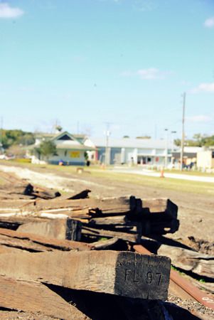
And piles of rotting railroad ties

I took so many photographs that I really can't post them all here. I did, however, upload the entire set to flickr, so if you're interested, you can check them out by CLICKING HERE.

The following are some additional sites I discovered while doing research for this post:
Good Life Community: High Springs Historical Society Museum
The High Springs Railroad by David July
Full text of 'Architectural and Historical Survey of High Springs, Florida'
High Springs Historical Museum's website and facebook
How to Construct a Railroad Roundhouse
and a Pinterest board with three excellent photographs of High Springs in the early 1900s

The Abandoned Railroad of High Springs, Part 2

Before you read this post, you should definitely be sure you've read Part 1, as it covers some the history of the railroad in High Springs, including the layout of the remaining railroad beds and the recent removal of the tracks. To be honest, it's also a bit more interesting of a post, as the second leg of the abandoned railroad that we traversed was not anywhere near as interesting. So seriously, if you haven't read it yet, go check it out before scrolling any further down this post. This was originally published on November 29, 2015 on DesolationFlorida.com.

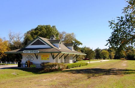
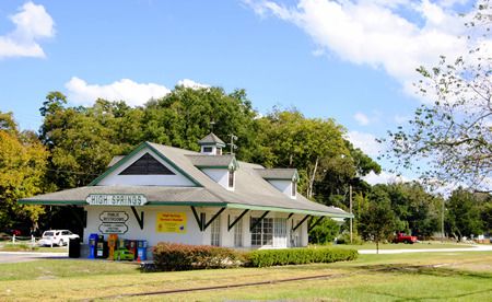
Yet again accompanied by JOM of Gravel Cyclist - I decided to check out the line going south through downtown and southeast towards the town of Alachua. As mentioned in my previous post on this bit of rail, the tracks were pulled up at the end of February 2015. Not much evidence that High Springs was once a bustling railroad town remains. There's a welcome station / public restroom located in a faux train station located along the former rail line, just south of Main Street; most people assume it was actually the original train station. Hell, I had assumed it was the original train station. It's not. I've been told (by the folks at the High Springs Historical Museum) that it was built in the 1980s. However, just north of Main Street along NE Railroad Ave sits the original passenger depot. That's not it's original location; it used to be located several blocks north of its current location. It was moved to its current location and restored in 1994.

 photo hsrr_faux_zps83f8sdkt.jpg
Here's the faux train station, located along the empty railroad bed.

 photo hsrr1_zpswkd5hmnw.jpg
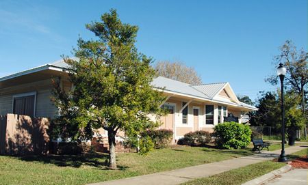
This is the original passenger station. The historical marker in front reads:

"This old passenger depot, built c. 1910, is all that remains of the vast railroad complex located southwest of downtown that made High Springs a bustling railroad center for nearly 50 years. In 1895, the Plant Railroad System chose the town as the site of its divisional headquarters. Rail yards, workshops, and a roundhouse serviced hundreds of steam engines and cars sent to High Springs to be cleaned and repaired. The importance of High Springs as a rail center declined as diesel engines replaced the old steam locomotives after World War II. Gradually all of the railroad buildings disappeared except the depot which was moved to this site and renovated as a railroad museum in 1994." (I don't know anything about this alleged museum, but the building sold recently, and is not currently open to the public.)


While the walk along the former rail line northward to the Santa Fe was an easy walk - with most of the former railroad bed easily trod - today's walk was not as accessible. Immediately south of town (not far past the faux-station), the rail bed becomes quite overgrown. We ended up covered in hitchhiker weeds, and soon moved to SE Railroad Ave, which parallels the old track. We didn't go too far, just about half a mile or so southeast of town to just past Prime Conduit (the factory which was the reason that leg of track had remained open until recently), but even the siding serving the factory has been removed and the area is already completely overgrown. Nonetheless, I of course took photos along our walk:


 photo hsrr8_zpspwuaoasg.jpg

 photo hsr8_zpsk5asxgg2.jpg

 photo hsrr7_zpsxqjgu0hg.jpg
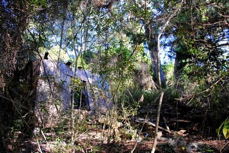
We found the tumbledown remains of an old house.

 photo hsrr6_zpseurfmt6e.jpg
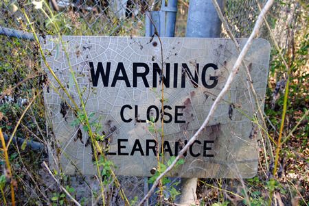
Sign at the Prime Conduit back gate, where the old siding would have been.

 photo hsrr5_zps86fco0wv.jpg
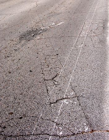
Some of the railroad crossing signs on the asphalt can still be seen

 photo hsrr4_zpstgtmwjug.jpg
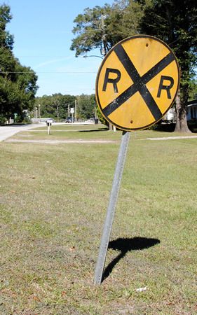
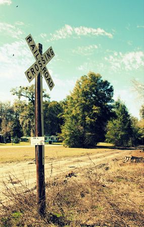
This sign, posted in 1987 according to the date on the back, still remains to warn drivers along SE 17th St that they're approaching the track, although no rails remain.

 photo hsrr3_zpsw0dq7s9a.jpg
I took this picture back in February 2015 right after the rails had been removed; the railroad bed was still easily passable, and several of the crossing signs were still posted.

The Abandoned Railroad of High Springs, Part 1

(Originally posted on DesolationFlorida.com on November 18, 2015)

High Springs was once a fairly active railroad destination, with both a passenger and a freight railway station and a roundhouse, serving lines that ran north to south from Dupont, GA to Alachua, FL and east to west connecting High Springs to Newberry, FL and beyond. The line from Dupont to Alachua has been abandoned for many years, with the exception of a little strip here in High Springs which connected the Lamson and Sessions Prime Conduit plant just south of town along the north-south line to the connection just north of town with the east-west train line. As of 2010, the line was still active, but in desperate need of repair. A cost/benefit analysis was conducted to determine whether the line should be repaired or abandoned, and by the following year the decision to abandon had been made.

When I moved to High Springs in July 2014, the tracks were still present for the Prime Conduit to Newberry stretch of the lines, even though the rail crossings in downtown High Springs had recently been removed and the rails north of the switch had been gone for many years. In January 2015, the process of removing the rails entirely began. As of today, very little of the railroad remains in High Springs, aside from the train station buildings and the now empty railroad beds.


 photo hsrr21_zpsdu2hvepu.jpg
I took this photo in October 2014. You can still see the tracks running past the High Springs Welcome Center located in a faux-trainstation building just south of downtown.

 photo hsrr1_zps9jhwbcum.jpg
I took this on February 1, 2015, when the rails and ties had been pulled up, but hadn't yet been removed.

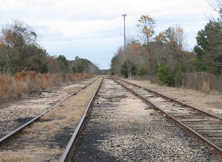
As I have a bit of an obsession with desolation in general and abandoned railroads in particular, I decided to explore as many of the abandoned railway lines in the area as possible. It’s a little ridiculous that two such lines exist within a few minutes’ walk of my house and yet I only just started exploring them last weekend… but what can I say? I’m a busy woman. Last weekend JOM of Gravel Cyclist and I scouted the east-west line from Poe Springs Road to the switch at the connection with the north-south line, and then followed the north-south line north of town to the Santa Fe River:

 photo hsrr18_zpssfitoktd.jpg
The east-west line, midway between Poe Springs Rd and the switch

 photo hsrr17_zps2eyk7omo.jpg
The east-west line begins curving to meet the switch with the north-south line

 photo hsrr16_zps1todkpk8.jpg
This is where the two lines once met.

The following two shots of the switch were taken at the same location in 2008 by flickr user badge1955:
 photo hsrr22_zpskrwgjprb.jpg

 photo hsrr23_zps2jw3liym.jpg

 photo hsr16_zps307ptgij.jpg
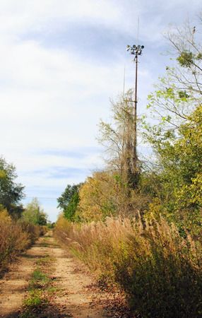
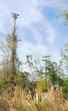
Just north of the switch, we spotted a tower.

Here's badge155's comparable shot from 2008:
 photo hsrr24_zpszbmgxf8p.jpg

 photo hsrr15_zpswosvvny1.jpg
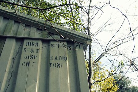
As we approached the tower, we noticed a small building in the weeds and decided to check it out.

 photo hsrr13_zpsmevk3aiu.jpg
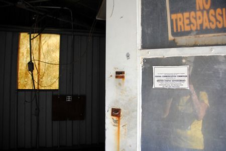
It had been a dispatch radio signal station.

 photo hsrr14_zpsounw1wg2.jpg
Now it's just an empty building.

 photo hsrr8_zpspicww8re.jpg
Just north of the switch and the remains of the dispatch signal station, one reaches the area where the tracks have been gone for far longer. This stretch of former rail bed has been a "road" of sorts for some time, paralleling Hwy 27 north of High Springs. It's named NW 270th Ter, and it's not exactly a highly traveled stretch of roadway. It made for a great walk on a lovely Sunday afternoon though :-)

 photo hsrr7_zpsszfqgpfa.jpg
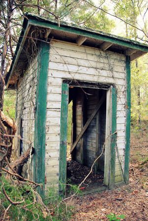
As we neared the northern end of NW 270th Ter, we did discover this little gem off to the side. From a distance I thought it looked like an outhouse. Up close... well, as far as we could tell, it had indeed been an outhouse. While there were no fixtures remaining, there were definitely pipes in the proper places for a sink and a toilet. There were no signs of who this outhouse might have served, however, as there were no houses or remains thereof anywhere close. A pitstop for train engineers perhaps?

NW 270th Ter dead-ends at the Santa Fe River.  Not much remains of the old railroad bridge, other than a few large pilings:
 photo hsrr6_zps8g6vakeb.jpg

 photo hsrr5_zpssyayhqgp.jpg

Once you cross the Santa Fe River into Columbia county, the railroad bed becomes wild and impassable.
 photo hsrr4_zpsrwxejomk.jpg
I still plan to explore the north-south line south of town, as well as the east-west line west of Poe Springs Rd, so please check back! Meanwhile, if you're into train imagery, I recommend checking out the flickr page of badge1955, where there are a ton of excellent train photos from all over.

My continued obsession with the abandoned rail yards of High Springs

I was out for a ride on the unofficial rails-to-trails as I so often am, when I gave into temptation and decided to explore one of the pat...